Introduced by Togo on behalf of the African Union, the measure passed with 164 votes in favor, six abstentions, and one vote against cast by the United States.
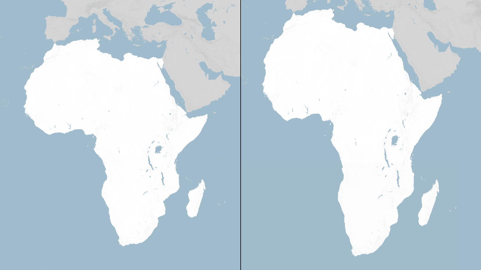
Equal-Area Projections & Cartographic Distortion
Technical and political concepts driving the UN resolution:
Mercator Projection (1569): A conformal cylindrical map projection created by Gerardus Mercator for maritime navigation that preserves shapes and lines of constant course, but heavily distorts area near the poles.
Equal Earth Projection (2018): An equal-area pseudocylindrical projection designed to depict relative landmass sizes accurately while maintaining visually pleasing shapes.
Non-Binding Global Mandate: UN General Assembly resolutions carry significant political and normative weight to influence educational curricula and international standards, though they are not legally enforceable laws.
KEY DEVELOPMENTS IN THE UN VOTE
Overwhelming Diplomatic Support: 164 member states supported the initiative to adopt accurate landmass representations.
Sole Opposition: The United States voted against the resolution, arguing that the UN was spending time on ideological debates rather than security issues.
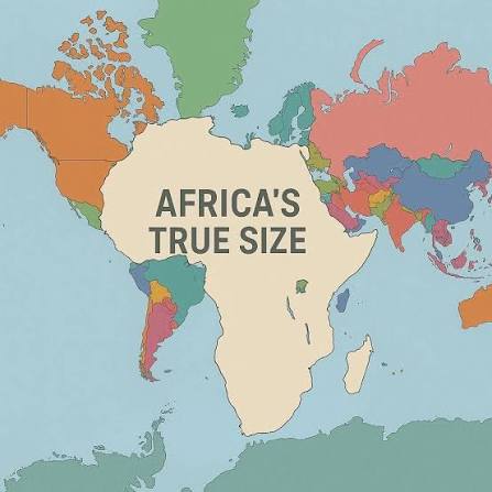
Correcting Misconceptions: While Mercator displays Africa and Greenland at similar sizes, Africa is actually 14 times larger (30.3 million sq km vs. 2.16 million sq km).
Target Outlets: The resolution urges schools, publishers, tech firms, and international agencies to adopt Equal Earth maps for general use.
For Education & Learning: Future textbooks and digital tools are likely to transition toward maps that teach correct geographic proportions from an early age.
For Media & Design: Publishers and broadcasting networks will face increasing standards to use equal-area maps in news and educational programming.
How quickly will major technology platforms and digital mapping services integrate equal-area projections into their default views?
Will this diplomatic milestone encourage further African Union-led initiatives for representation in global institutions?
Have a perspective on this story? Leave your comment below and join the debate on News Definition.