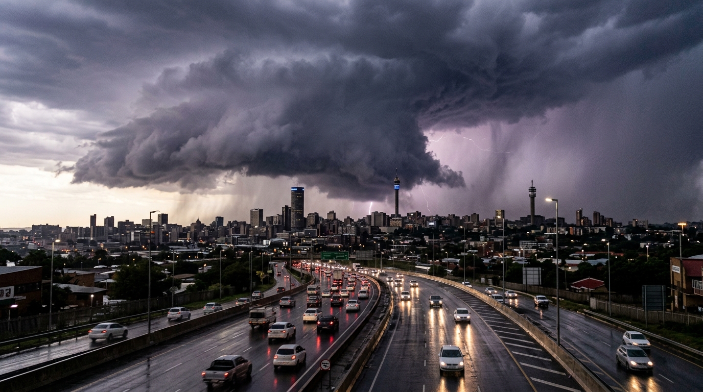
The South African Weather Service placed Gauteng, the Mpumalanga Highveld, and the North West on high-impact Orange thunderstorm warnings on Sunday, forecasting destructive hail, gale-force gusts, and localized flash flooding.
For Highveld residents, the real danger is not rainfall totals—it is the physical fragility of municipal stormwater channels, uncleaned culverts, and overloaded suburban substations that trip during standard afternoon showers.
Johannesburg Emergency Management Services placed disaster response units across all seven regions on high alert, warning motorists to avoid flooded low-lying bridges along the M1, the Buccleuch interchange, and the Klip River basin. Mangaung Metro issued a parallel alert as heavy convective cells tracked eastward across the Free State.
Weather bureaus issue colour-coded warnings; they do not clear blocked drains or secure informal settlements constructed on floodplains. Municipal distribution networks in Emfuleni, Tshwane, and parts of Ekurhuleni already carry multi-billion-rand maintenance backlogs. A heavy hail cell hitting exposed transformers does not trigger a routine repair; it triggers days of dry taps and blacked-out feeder cables while councils scramble for emergency contractors.
Emergency logs will track road closures and vehicle recoveries through Sunday night. But the immediate stress test sits inside regional health facilities and pump stations, where backup diesel generators will decide whether clean water flows on Monday morning.
An Orange Level warning indicates a high probability of severe societal impact, defined by the weather service as property destruction, structural damage to temporary housing, and systemic breakdown of basic municipal transport and power services. It differs fundamentally from yellow advisories because it signals conditions exceeding normal civil engineering capacity.
If you live in a low-lying or floodplain community, secure essential documentation, charge emergency mobile devices, and map an uphill exit route before dark. If you commute on Highveld freeways, treat standing water as impassable—submerged sinkholes and missing manhole covers cannot be detected through muddy runoff. For suburban homeowners, outages triggered by water ingress in underground cable joints often outlast the rainstorm by forty-eight hours.
* Which regional dispatch centers publish complete incident and road closure logs before the Monday morning rush hour?
* How many municipal pump stations lose grid power, and which metros have working emergency generators on site?
* Will provincial disaster management teams deploy emergency relief to vulnerable settlements before secondary cold fronts make displaced families colder and wetter?