While national political and legal disputes dominate news headlines, severe atmospheric conditions are creating immediate physical hazards across vast tracts of South Africa today. The South African Weather Service issued concurrent emergency warnings on Monday and activated opposing weather alerts that threaten agricultural property, informal housing, and municipal power grids.
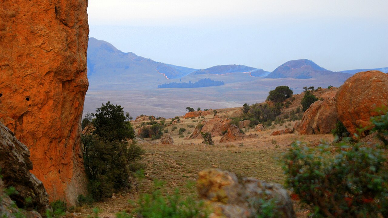
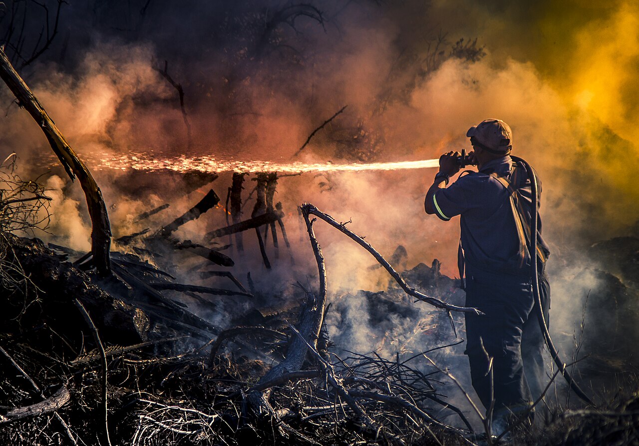
Meteorologists placed western and interior farming districts under an extreme Red Level 10 fire danger warning valid through midnight. Arid terrain, unseasonably hot surface temperatures, and strong north westerly winds exceeding 50 kilometres per hour have elevated the Lowveld Fire Danger Index into critical territory across parts of the Northern Cape, North West, and the Free State boundary. Under these conditions, any spark from roadside machinery, discarded cigarettes, or unattended cooking fires can trigger uncontrollable veld fires capable of consuming tens of thousands of hectares within hours.
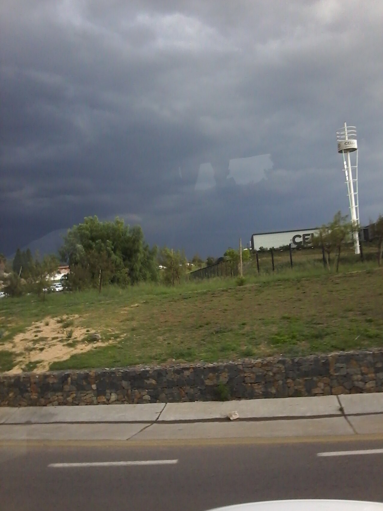
Simultaneously, coastal and escarpment communities face a contrasting atmospheric threat. The weather service activated Yellow Level 2 impact warnings for severe thunderstorms spanning large sections of the Eastern Cape and southwestern KwaZulu Natal. Forecasters project fast moving convective storm cells with excessive lightning, destructive surface hail, and sudden localised downpours that threaten low lying river crossings and municipal stormwater infrastructure.
The dual weather systems reflect an intense spring trough collision. A deep upper air cut off low pressure system off the Southern Ocean draws warm, moist subtropical air down the eastern seaboard while dragging dry desert winds across the central plateau. The resulting pressure gradient compresses humidity in the east and strips moisture from the interior.
Municipal disaster management teams in Sarah Baartman, Chris Hani, and Joe Gqabi district municipalities have placed emergency response crews on high alert. Local authorities warned motorists on the N2, N6, and N10 transit corridors to prepare for sudden visibility loss, hazardous crosswinds, and standing water across major mountain passes.
Weather warning levels reflect projected impact rather than meteorological measurements alone. A Red Level 10 fire danger rating represents the highest tier on the national early warning matrix and signals an exceptional probability of rapid fire propagation that overwhelms standard municipal firefighting suppression capacity.
A Yellow Level 2 severe thunderstorm warning denotes localised significant impact with low overall likelihood across a broader region. The designation warns that isolated communities within the warning polygon will experience severe wind gusts, property damage, and localized flash flooding.
If you live in or travel through rural districts in the Northern Cape, Free State, or inland Eastern Cape, all outdoor open fires are prohibited by law under current conditions. Livestock owners should maintain cleared firebreaks around paddocks and move herds away from flammable dry brush corridors.
Residents in eastern towns facing thunderstorm alerts should secure loose roofing sheets, park vehicles away from large trees or unreinforced carports, and avoid crossing swollen low level bridges or culverts during evening commutes.
* How quickly can rural fire protection associations and Working on Fire ground teams mobilise if multiple ignition points erupt across the central interior?
* Are municipal drainage systems in Eastern Cape towns maintained to clear flash downpours, or will blocked stormwater drains worsen suburban flooding?
* What emergency contingency plans exist for informal settlements built in dry river basins when convective downpours strike after dark?
* How will extreme spring weather swings affect agricultural crop planting and livestock grazing after prolonged dry winter months?